Being a small business means prioritizing the most vital part of our organization, our family of employees. Keeping us at the forefront of the aerial surveying and mapping industry for over 20 years, we take pride in driving DAS forward. Learn how you can join the team and start an exciting, challenging, and fulfilling career here.
Accurate Aerial Surveying and Mapping
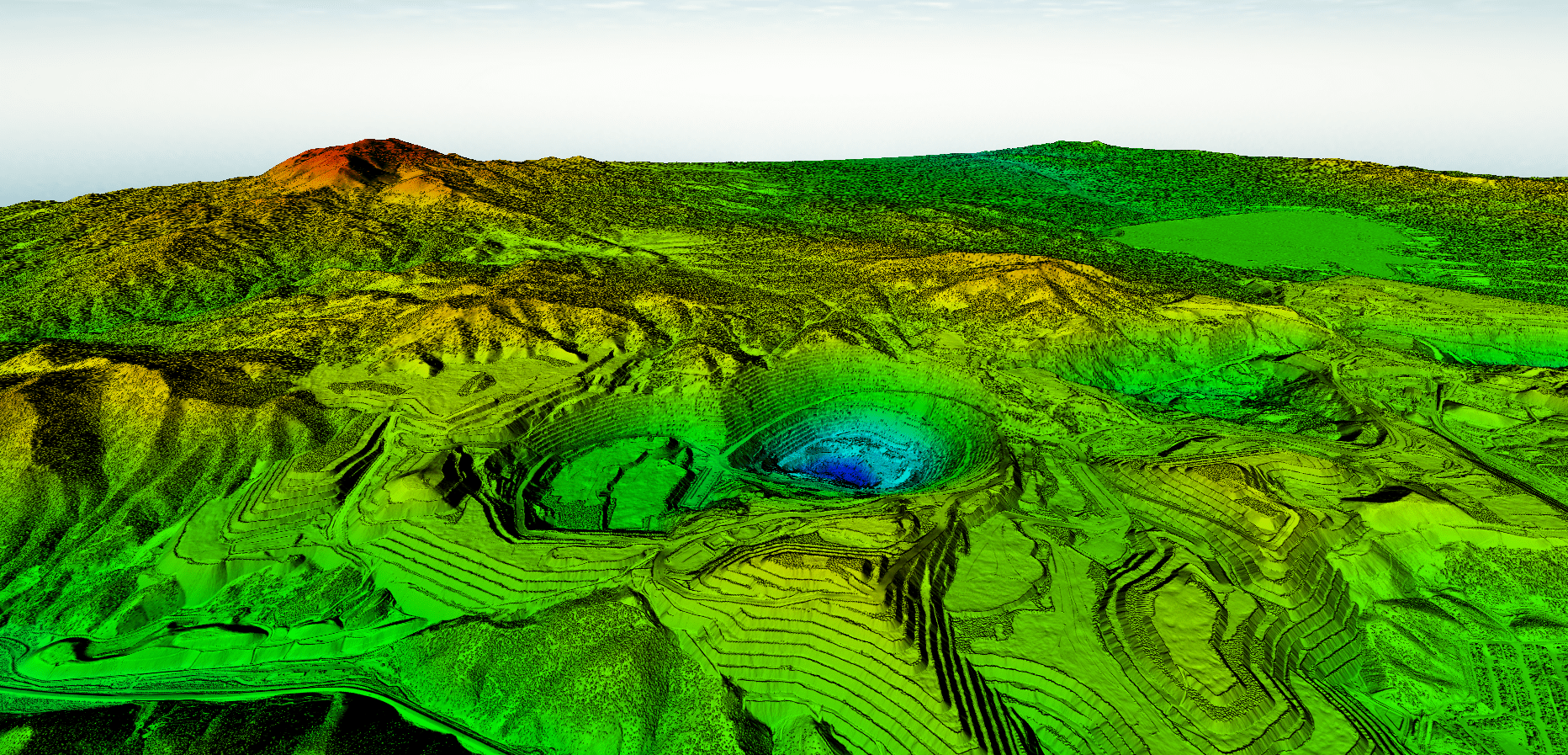
Our team of professionals boasts expertise in a wide range of remote sensing and geospatial technology. We specialize in the following products:
- Topographic and Bathymetric LiDAR Acquisition and Processing
- Digital Orthophotography and High Resolution Imagery
- Geodetic Surveying
- GIS Feature Extraction and Dataset Creation